UN
2 Bethel Place
£ 185,000
Description
We don't have a Description for this property.
- Bedrooms
- 4
- Bathrooms
- 0
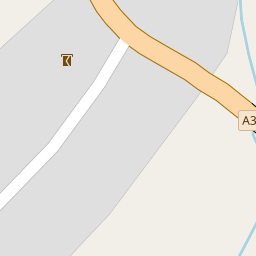


Leaflet © OpenStreetMap contributors
The heatmap indicates the level of crime in the area. The color of the heatmap indicates the crime severity and recency.
Metrics Year-on-Year
- Average area value
- 442,500.00 £Decreased by 34.44 %
- Average area rental value
- 1,643.00 £/moDecreased by 26.98 %
- Est rental Yield
- 4.46 %Increased by 11.50 %
- Crime Rate
- 0.00 %
from 675,000.00 £
from 2,250.00 £/mo
from 4.00 %
from 0.00 %
Nearby Schools
| Name | Type | Ofsted | Distance |
|---|---|---|---|
| Trinity Church Of England First School | Voluntary Controlled School | Good | 3.38 KM |
| Oakfield Academy | Academy Converter | Requires improvement | 3.38 KM |
| Critchill Special School | Academy Special Converter | 3.41 KM | |
| Wessex Lodge School | Other Independent Special School | Good | 3.79 KM |
| Vallis First School | Community School | Good | 3.92 KM |
Images
Nearby Streets
| Name | Average Price | Average Sqft | Distance |
|---|---|---|---|
| Saint Michael's Close | £ 0 | 0 | 0.00 KM |
Nearby Transport
| Name | NLC | TLC | Distance |
|---|---|---|---|
| Frome | 5707 | FRO | 5.63 KM |
Nearby Listings
| Address | Price | Type | Score | Distance |
|---|---|---|---|---|
| High Street, Buckland Dinham, Frome | £ 375,000 | BUY | 6 / 10 | 0.16 KM |
| Four Bedroom Detached House With Land And Outbuildings | £ 845,000 | BUY | Unknown | 0.16 KM |
| High Street, Buckland Dinham | £ 450,000 | BUY | 7 / 10 | 0.17 KM |
| Lower Street, Buckland Dinham, Frome, Somerset, BA11 | £ 825,000 | BUY | Unknown | 0.18 KM |
| Lower Street, Buckland Dinham, Frome, BA11 | £ 435,000 | BUY | Unknown | 0.36 KM |
Nearby Properties
| Address | Price | Distance |
|---|---|---|
| 2 Bethel Place | £ 185,000 | 0.00 KM |
| Helensdene | £ 220,000 | 0.37 KM |
| Renroc | £ 315,000 | 0.37 KM |
| Glebe Farm House | £ 162,000 | 0.37 KM |
| Burley Cottage | £ 417,500 | 0.37 KM |